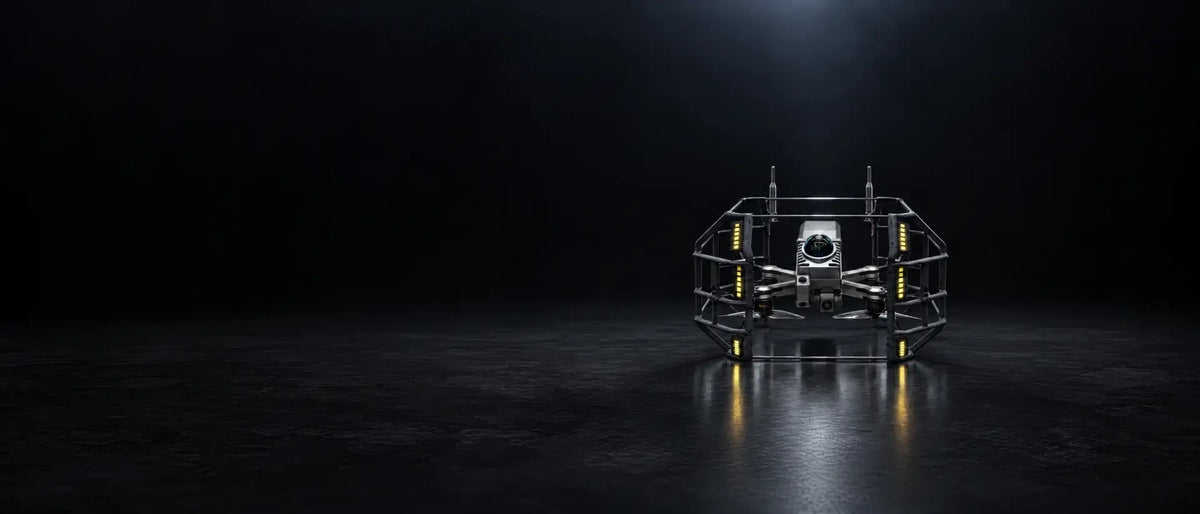
Viterra Robotics D-Vortex I
Maintenance & Warranty
Maintenance & Warranty
All products are covered by the applicable manufacturer's warranty, with full details provided at the time of purchase. We also offer ongoing maintenance, servicing and technical support to keep your equipment running at its best. Our team is on hand to help with repairs, firmware updates and warranty claims whenever you need us.
Need Finance Support?
Need Finance Support?
Flexible finance options may be available for qualifying purchases, helping spread the cost of your investment. Our team can talk through the right payment solution for your organisation, whether you're a business, research institution or public sector body. Get in touch with our team here to find out more.
Delivery & Shipping
Delivery & Shipping
Most products are supplied to order, with typical UK delivery taking 4–5 weeks. We also deliver across Europe and internationally, with shipping costs calculated at checkout. learn more here.
Subscribe to our newsletter
Sign up for exclusive offers.

Viterra Robotics D-Vortex I – Professional Confined Space Inspection & 3D Mapping Drone
Advanced UAV technology for inspecting hazardous, enclosed and GPS-denied environments.
The Viterra Robotics D-vortex I is a specialist industrial inspection and surveying drone engineered to operate in challenging confined spaces where conventional drones and traditional inspection methods struggle.
Combining advanced LiDAR technology, visual imaging, multi-sensor positioning and intelligent flight capabilities, the D-vortex I provides a powerful solution for capturing accurate spatial data and generating detailed 3D models of difficult-to-access environments.
Designed for operations in GNSS-denied environments, the D-vortex I can navigate underground infrastructure, tunnels, mines, utility networks and industrial structures, helping organisations improve inspection efficiency while reducing the need for personnel to enter potentially hazardous spaces
Integrated Data Processing Software
The D-vortex I is supported by dedicated data processing software designed to manage the complete inspection workflow.
Capabilities include:
-
Point cloud processing and visualisation.
-
High-precision 3D reconstruction.
-
Offline data processing.
-
Time-synchronised data playback.
-
Data analysis and archiving.
-
Export to standard formats including .LAZ, .PCD, .XYZ and .CSV
Find out more in our Confined Space Inspection blog.
Find The Perfect Model For Your Needs...
Compare all our top models to find the best one for you.
| Facet | |
|---|---|
| Light output | |
| Light output | |
| Safety features | |
| Safety features | |
| Flight time | |
| Flight time | |
| IP Rating | |
| IP Rating | |
| LiDAR range | |
| LiDAR range | |
| Dimensions | |
| Dimensions | |
| Ideal For | |
| Ideal For |